San Antonio Rainfall: Midweek Showers and Drought Backslide
The National Weather Service projects repeated rain events through the weekend, while total precipitation since January exceeds seasonal averages by two inches.
By Megan Adeyemi ·
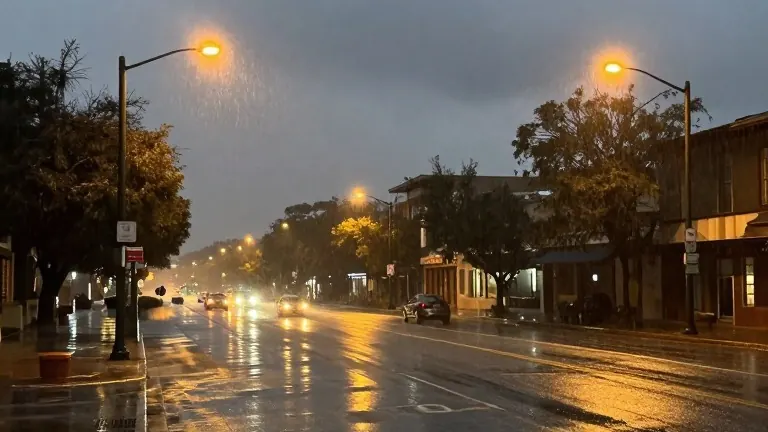
The San Antonio region faces a persistent pattern of precipitation this week, with the National Weather Service identifying specific days where moisture levels will peak. Forecasters indicate that showers are possible on Tuesday, Thursday, Friday, and Saturday, creating a wet stretch that spans most of the week.
The highest probability for rain falls on Thursday and Friday. During those two days, more than half of the region could receive measurable precipitation. While flash flooding remains a possibility on those days, officials note that the forecast will sharpen as the week progresses. The service warned that atmospheric lift may still trigger isolated showers late Friday and into Saturday, but dry conditions are expected to return from Saturday night through Monday.
For residents planning outdoor activities, the outlook for Halloween is mild. A very slight chance of showers exists, but any rain should clear before nightfall. Temperatures are expected to reach the mid-70s during trick-or-treat hours. The rest of the week will feature cooler temperatures due to cloud cover and rain, with highs mostly in the 70s on Thursday and Friday. The weekend should bring warmer weather with less cloudiness.
This wet period follows a period of above-average rainfall for the area. San Antonio International Airport has recorded nearly 30 inches of rain since January 1. This total is two inches above the average for this time of year. Despite the recent wetness, Bexar County has been backsliding into drought conditions following a rainy July and the remnants of Hurricane Polo in September.
A statement from the National Weather Service detailed the upcoming temperature shifts. The service noted that cloudy skies and rain will keep Thursday and Friday cooler. It added that the weekend should be warmer with less cloudiness and mainly dry weather. The agency also projected that dry weather will return for Saturday night through Monday.
October marks the beginning of the fall weather pattern for the city. An increasing number of cold fronts are expected to arrive this month and next. This week, temperatures will remain mild, with highs just above or just below 80 degrees and early morning lows in the 60s. Historical weather records indicate that the city's first freeze usually occurs around Thanksgiving, give or take a few days on either side of the holiday.
Source: Texas Public Radio